fbpx Skip to main content

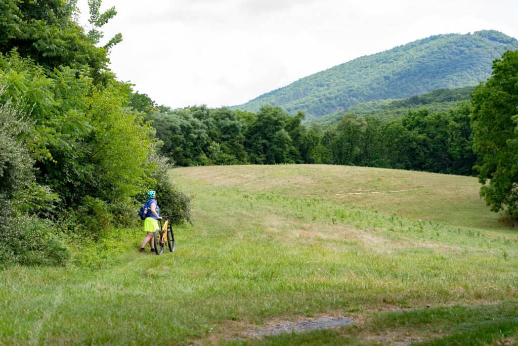
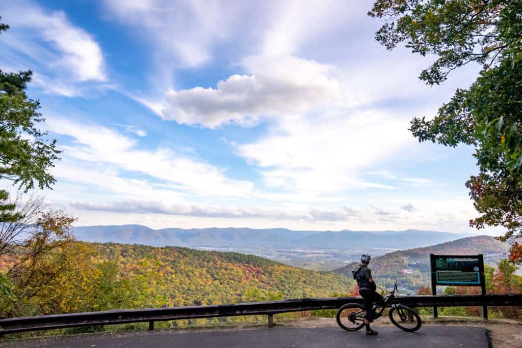
The Massanutten Western Slope offers 32 incredible miles of trails on more than 800 mountainous acres. We are proud to build and maintain these trails.


We invite you to ride, run, walk, AND join our movement to caretake these trails. 

The Western Slope trail system is made possible through the community support of trail pass holders, volunteers, donors, and our partnership with Massanutten Resort, which owns the land.

Everyone is welcome to use the trails once they obtain either a Day or Annual Pass, joining the community of visitors who makes these trails possible.

Volunteer to Build & Maintain the Trails

Shovels, scouts, and trail stewards are all needed to keep our trails rolling.

Volunteer Trail WorkReport Volunteer HoursReport a Maintenance Need

Want to help maintain trails, but not within large volunteer events?  Our published Trail Work Tiers shows how you can always pitch in, anytime, anywhere.

Expand What’s Possible

Trails build community — and communities build trails.  The Western Slope Trails rely on the contributions of riders, walkers, and visitors. Beyond the shovels, there are many ways to join us!

Meet or Join the Western Slope TeamDonate to the Trails

Shape the Future — Long Range Planning for the Western Slope Trails

The Coalition is currently completing a master planning process for the Western Slope Trails. Your visions, desires, and ideas shape the future of the trail system.

Read the Survey ResultsLearn More About Our Trail Planning Process

Ride, Walk, or Run

Trail pass – choose one below.
In-Season Date – open every day from January to November 1st.  Open only on Sundays November 4 to January 6th for regional hunting season.

Join the Coalition and we'll mail you an Annual Trail Pass.
Day passes are available online, for same-day access.

All trail pass fees support the Coalition to build, maintain, and expand the trails.

Your pass dollars build the trails you ride!

Trails MapTrailhead Location

Maps

Looking for online resources for Massanutten Trail Maps? Check out MTBproject and Open Cycle Maps. You can also download the map.