After a looonnnggg week at work, and with the weather not looking too cold, I secured domestic clearance to disappear for Saturday night. A quick email to Johnny and he was in. We decided we would roll from town noonish, ride up Reddish Knob, then descend via FR85 and FR95 to a campsite just off the road along the North River at the North River Trail trailhead. And when I say noonish, the plan was to leave from the Rt. 257 Dry River crossing at noon, but Mr. Youngdahl didn’t make it out until a bit after 12:30. No worries though, time for a photo op.
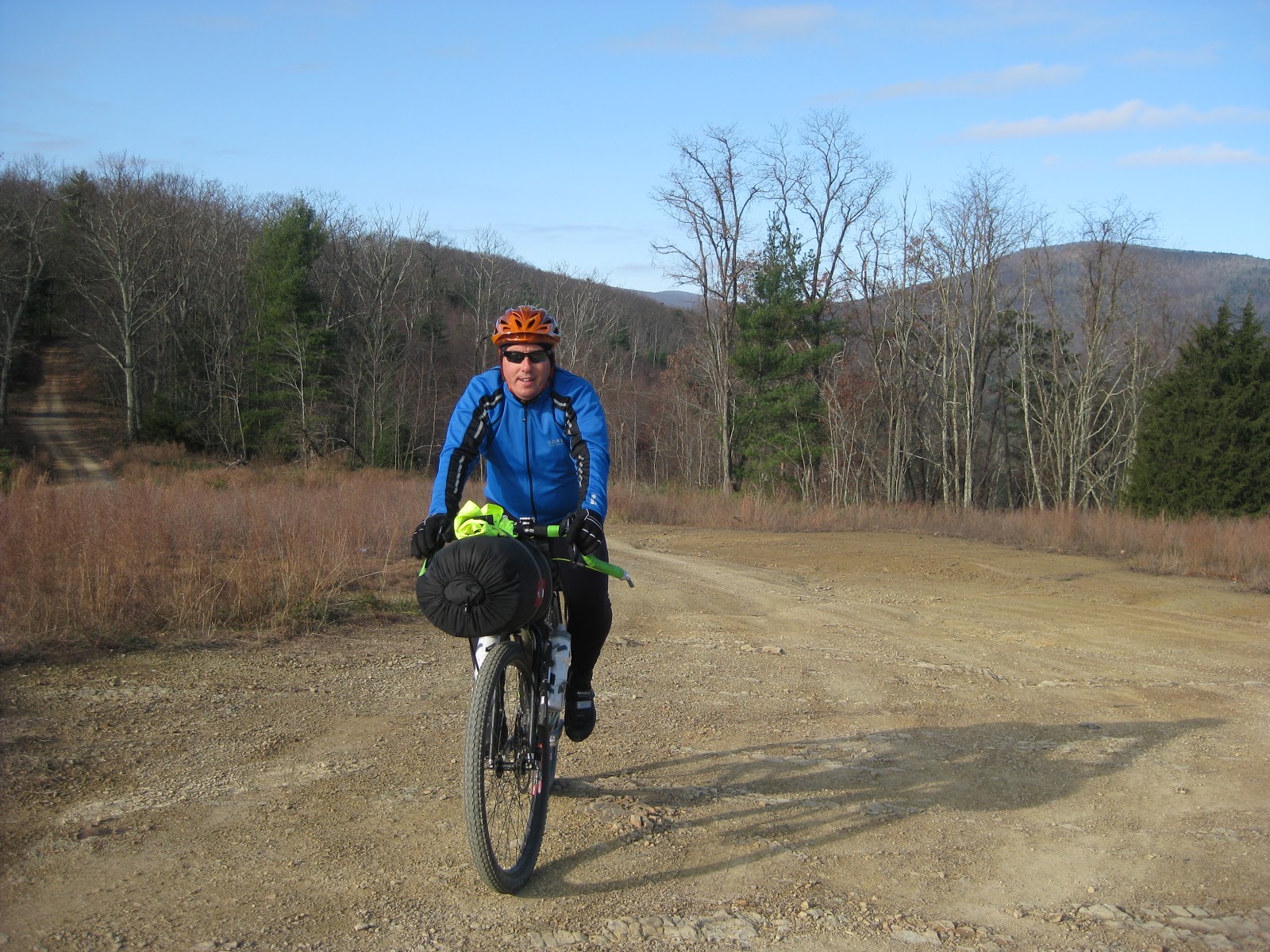
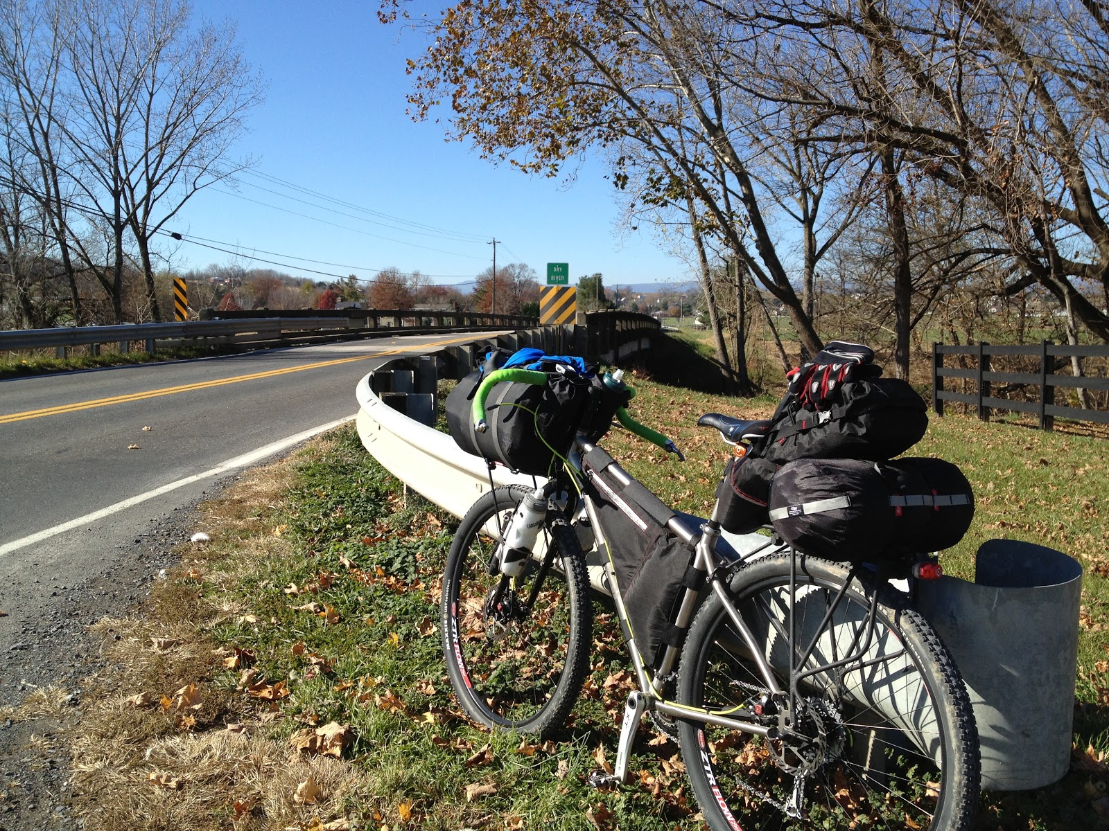 |
| The Fargo loaded for fun |
Now the obvious question is what the hell is that giant bag strapped to my front rack? Well with the low temperatures in town forecast to below freezing, and the temperatures in the mountains sure to be several degrees colder, I broke out my synthetic mummy bag. This was also the first trip for my seat bag/frame bag combo which worked out great.
We blasted out Rt. 257 with a nice little tailwind and before long we were climbing Reddish. Johnny snapped a quick picture.
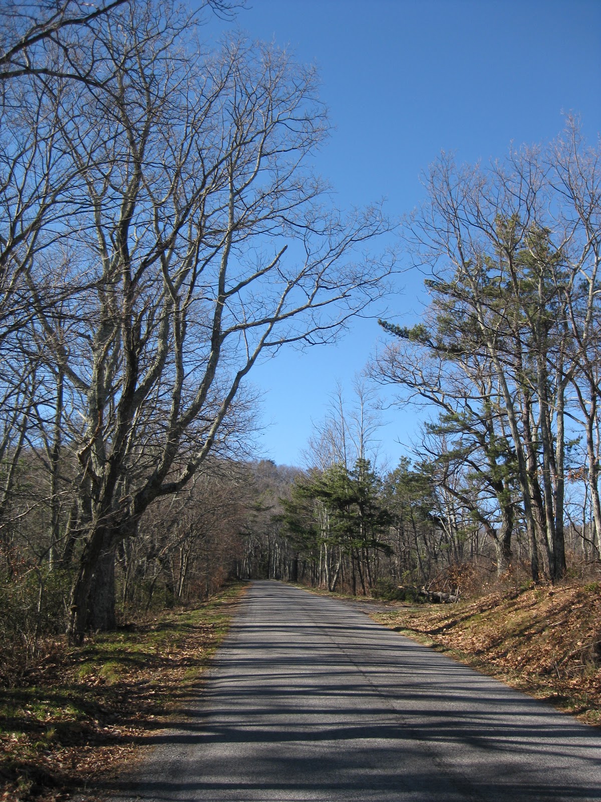 |
| The Reddish climb…it’s steeper than it looks! |
So, have you ever said to yourself, “self, I wonder what Johnny is thinking when he is riding up a steep climb on a fat bike loaded with 25 pounds of camping gear?” Well, I can now answer that question (NSFW, young ears, or old easily offended ears):
http://theoatmeal.com/pterodactyl_video
I should have warned you before clicking the link that if you watch the video you’ll end up singing the chorus all day, which is a problem if you like to sing out loud AND you go out into public. I kept wondering why I was getting strange looks…
Anyway, we suffered our way up Reddish on our loaded bikes. Once we hung a left at Moyers Gap we stopped to take in the view back down the Briery Branch watershed we had just ridden up.
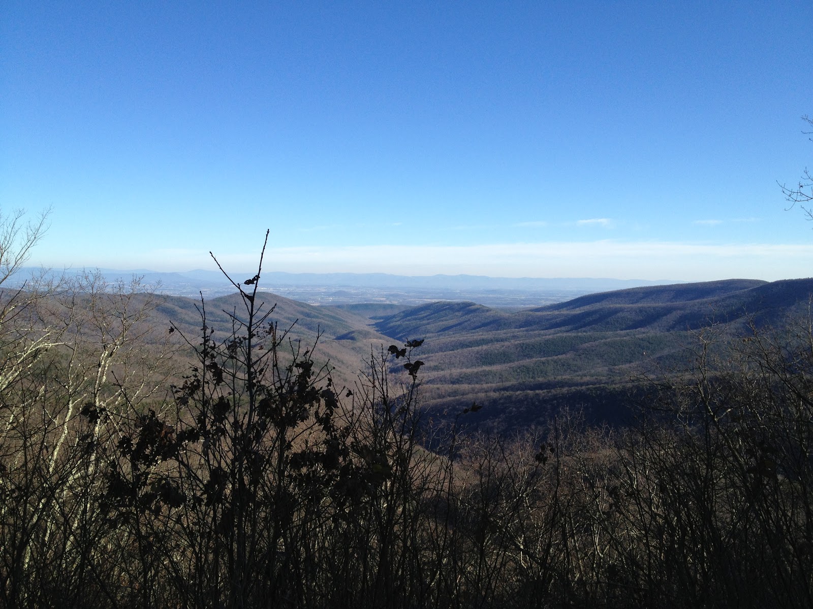 |
| Looking east to the Shenandoah Valley |
Another mile or so and we stopped at the last switchback to have a snack figuring it would be the last time we were in the sun for a while. While the temperature was in the mid-50s, we figured once we hit the shady portions of FR85 the temp would drop quickly. While there I took a panorama with my iPhone which came out simply amazing.
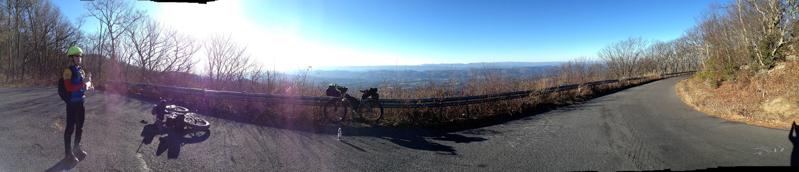 |
| Looking west into West Virginia |
After this stop it was one more short climb to FR85, then 7 or 8 miles down to FR95, then just a couple more miles down to where we wanted to camp. We were a little concerned that with it being the first day of rifle deer season there would be a bunch of hunters in the woods, and where we wanted to camp might be taken, but it turned out we only saw a couple folks the whole time once we got off pavement.
The camp site was just awesome. Even though the site is just 30 or so yards off the forest road it is right next to the North River. The sound of the river, the cool temps, and my toasty mummy bag made for a great night’s sleep. I finally crawled out of my tent around 7:00 Sunday morning and we were rolling by 8:30. We decided to take a pretty direct route home while avoiding as much pavement as possible. The first climb of the morning was up Leading Ridge Road.
 |
| Yeah, it was a little chilly |
From there we cruised down to Tilghman Road, cut over to Rt. 257, then hit as much gravel as we could working our way towards Bridgewater/Harrisonburg. For me it ended up being 65 mile loop with a little over 5100′ of climbing. Johnny got a few bonus miles getting back to the Burg, Just another stunningly fun trip and we’re already scheming for the next one.
–Roland