We need YOU to help us decide!
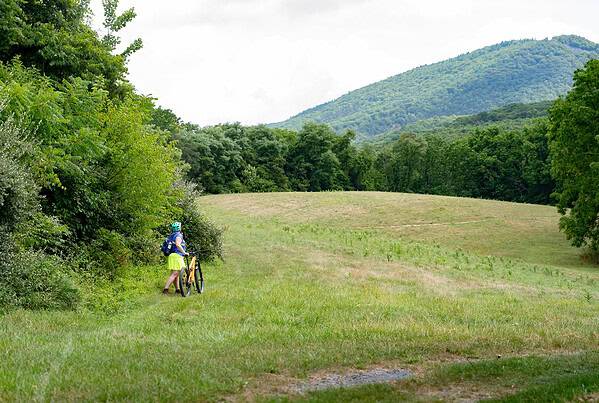
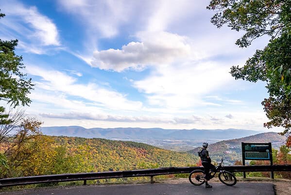
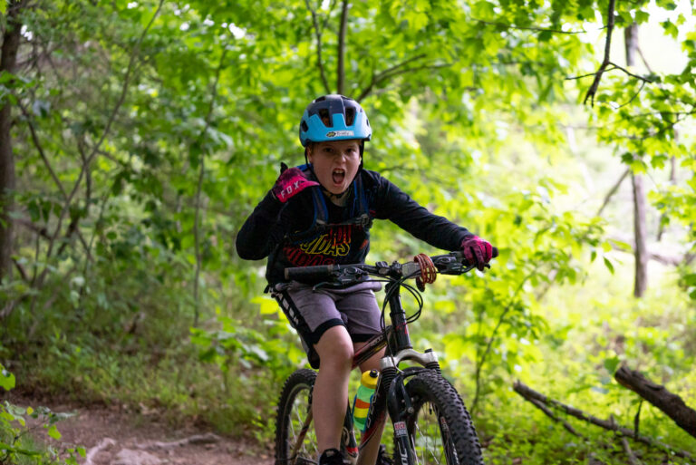
The Western Slope Trails in Keezletown are the Valley’s playground for mountain-scale outdoor adventure. If you’ve visited the 32+ miles of networked trails, you’ve likely seen our incredible community of outdoor enthusiasts — a youth mountain bike league, a volunteer trail work crew, weekly organized mountain bike rides, casual family excursions, and local joggers all call the Western Slope home.
The past several years have seen trail usage skyrocket, propelled by the construction of beginner-friendly trails and growing awareness of the quality and extent of the trails. But as usage increases, new questions arise: how will the trails handle increasing foot and bicycle traffic? Are new trailheads needed? What types of trails — from technical mountain bike jump lines to solitude-centering nature strolls — does the community most want to see?
Reasons to Add Your Voice to the Western Slope Trails Survey
Our Community Outreach Survey wants to hear your visions, concerns, hopes, and ideas. The results of the survey will be combined with professional trail and terrain assessments from Applied Trails Research, a nationally-renowned trails planning firm.
Over the next several months, we will share results from both the Outreach Survey and the Trails Assessment, building toward the creation of a Master Trails Plan to guide trail development into the future.
We want the Western Slope Trails to reflect our local community — its visions, its desires, and its mountainous terrain we’re all here to enjoy. Add to your voice to the chorus, and help us design the trails you most want to see:
We need your input to shape the future direction, style, and extent of the trails.
As a community-based Coalition, we know that our role is to plan for and build trails to benefit generations beyond us. We want to design outdoor experiences that respond to our community’s needs and desires.
We also know the possibilities for expansion are vast, and the responsibilities to manage the trails carefully are real and present. The existing trail system covers 800 acres and 32 miles of adventure, but hundreds of additional acres of land wrap to the south along the Massanutten ridgeline, creating possible future connections to Route 33, Crosskeys Road, Rockingham Park at the Crossroads, and Massanutten Resort, which owns the land that all of the Western Slope Trails reside on. What expansions bring beneficial impact and welcome connectivity? What changes would alter the uniqueness and perfection of the trails as they are? How can we be good stewards of trail networks for years to come?