***Warning: Your chance of getting lost on this one is high if you do not first arm yourself with National Geographic Map #792 and PDF Maps on your phone. See details below and YOU HAVE BEEN WARNED***
Great question and one that we have heard a lot as of late what with the $80,000 of work that the SVBC orchestrated up on 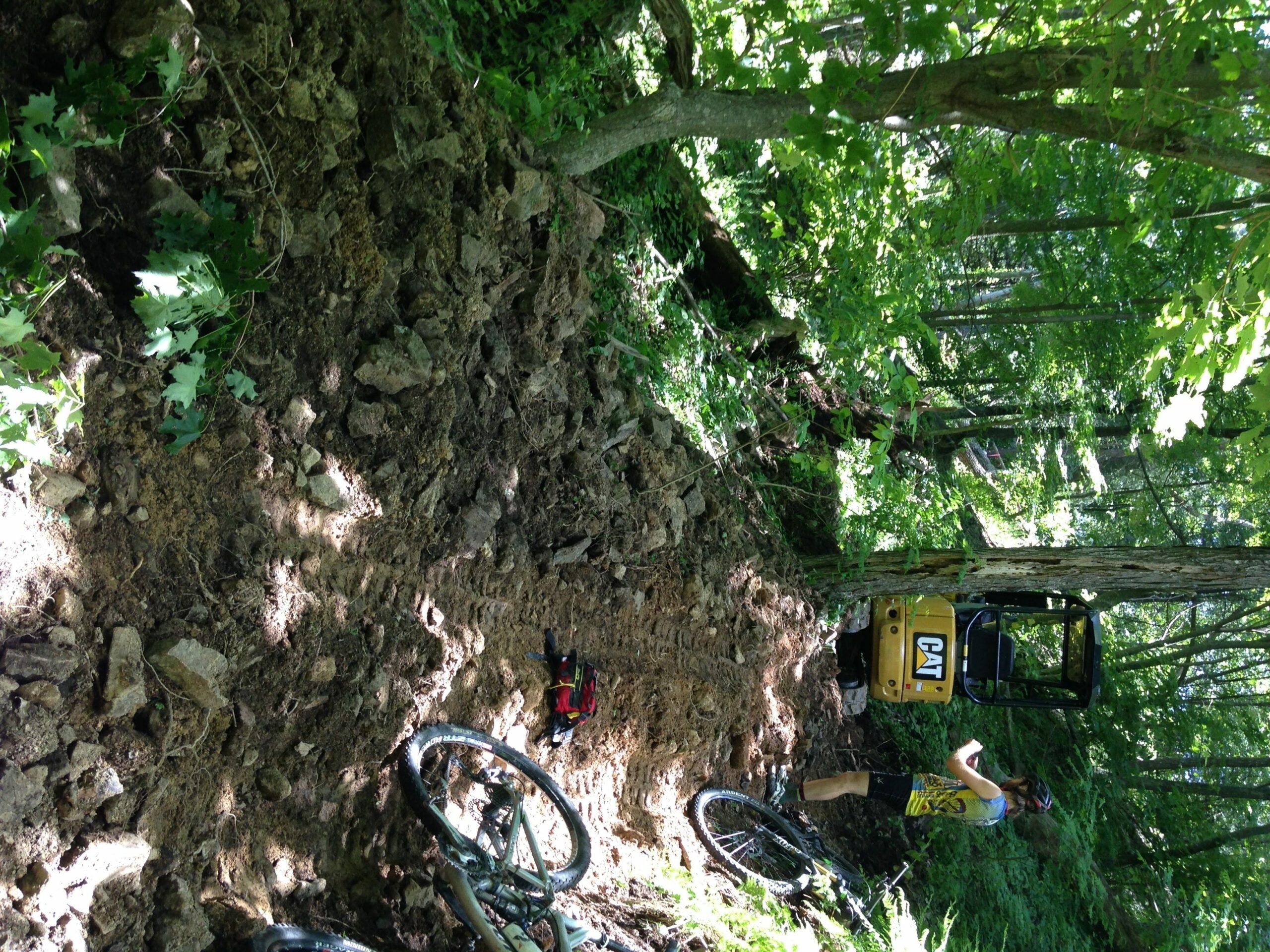
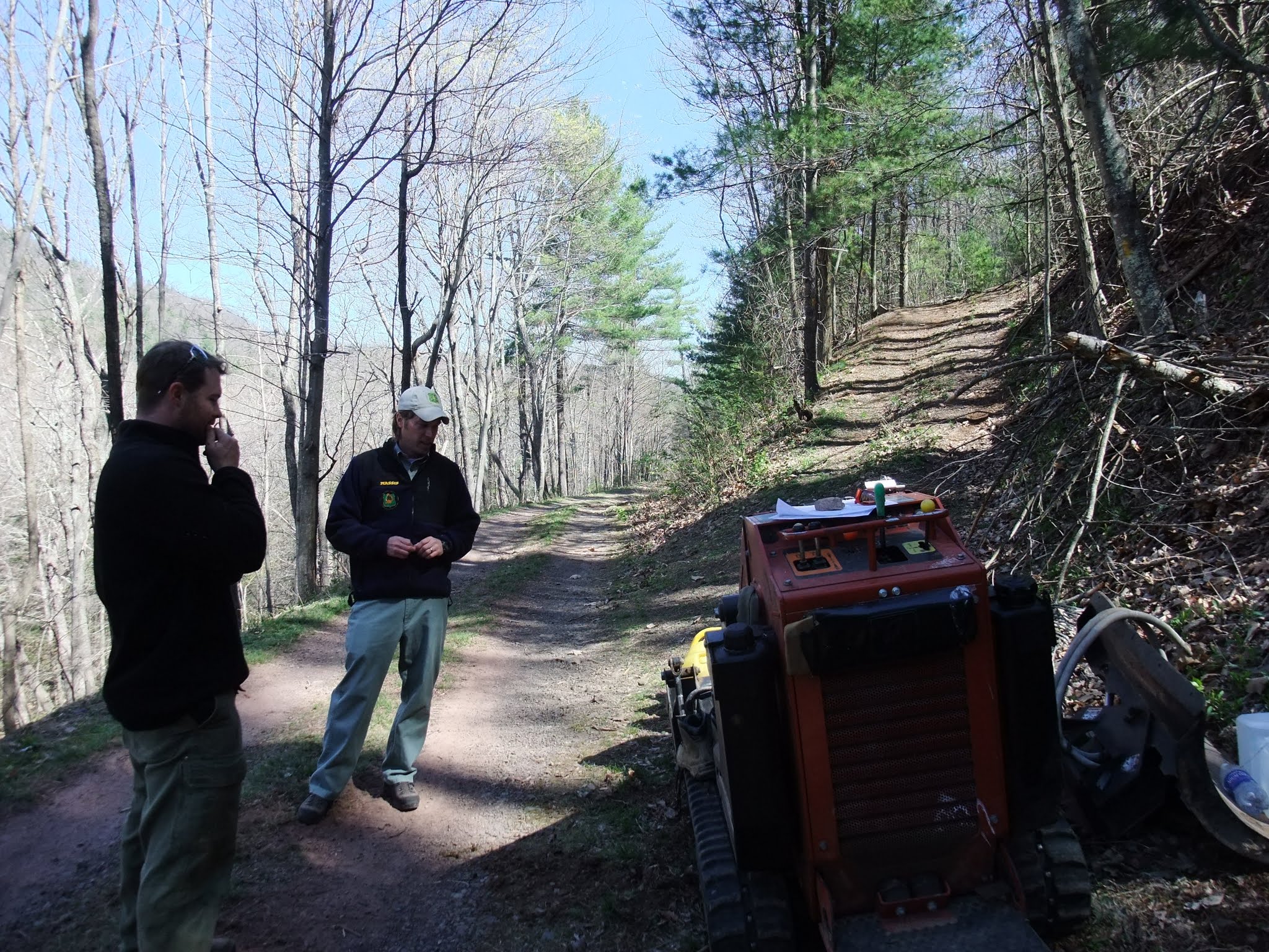
the Carr Mountain Trail as part of the $300,000 spent on National Forest Trails in 2016. Dirt Sculpt from PA won the contract and built the trail for us up on Carr Mountain. Like what we are doing? then please consider DONATING TODAY to help us keep doing awesome things with trails in Virginia! or Learn more about all of our amazing projects in 2016 to improve our National Forest.
A little backstory: The Carr Mountain Trail is part of the Great Eastern Trail and the Virginia Mountain Bike Trail. 2011 Post about the Carr Mountain Trail on SVBCoalition.org & 2012 SVBCoalition.org post about the Carr Mountain Trail
Location: Carr Mountain is in the lost and forgotten corner of Rockingham County just south of Bergton and Criders. It is deep in the “Bermuda Triangle of Fireroads,” So be sure to take a map and, ideally your phone with
Maps: You will want the National Geographic Trails
Illustrated Map for Massanutten & Great North Mountain Map #792(you can find this at any local bike shop) Also a good idea to download PDF maps for your smartphone. With PDF maps you can and should purchase the National Geographic maps and then see your location in real-time on the National Geographic Trails Illustrated Map. PDF maps also works when you don’t have cell phone reception.
Driving Directions: Follow this Google Map Driving Directions to Blue Hole near Bergton. Should take about 45 minutes from Downtown Harrisonburg. Park at Blue Hole (not the one on US 33) but instead near Bergton
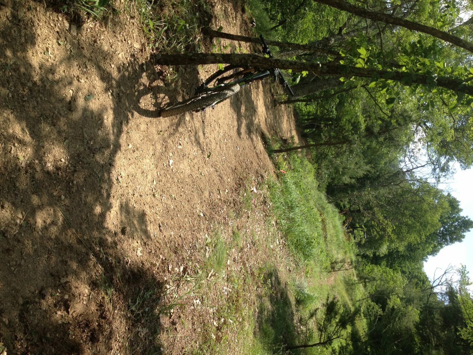 Riding Directions Option 1 Recommended first try route (Out and Back): Park at Blue Hole and follow Forest Service road # 302 all the way up towards White Grass Knob. Be careful not to make any wrong turns down road # 302A, 302B, or 302E Because of recent logging, 302B will look like it has much more traffic than 302, but it does NOT climb up to Whitegrass Knob. For this reason, it is a good idea to use PDF maps so you can see where you are (pdf maps work even when you don’t have cell reception). If you make all the proper turns, the road will end at the new trail build (it should be about an hour climb from your car). You will climb up the new build and can go in as far as you would like before turning around to ride back to your car. The new build is several miles but the trail goes all the way back to German River Road in a much more primitive state.
Riding Directions Option 2 NOT recommended unless you have already ridden option #1(Loop Ride): Park at Blue Hole and ride out to Bergton proper and at the Bergton store and post office, turn left and head towards Criders on 826 and once at Criders, turn left onto German River Road. Never mind the no trespassing signs that you may see but do be sure to remain ON the ROAD. You will quickly be on National Forest property and will be nearly paralleling the Carr Mountain Trail that is up on the ridge to your left.
Intersection with German River Road and the Carr Mountain Trail. It is NOT marked until you get up and over the tank traps. Then you will see the blazes and singletrack
Continue on German River Road for a bit over 6 miles. This is the part that is hard to find. You need to find the southern terminus for the Carr Mountain Trail. It will be shortly after you cross under large high transmission power lines that you will likely miss. It is BEFORE you come to a three-way intersection complete with a river crossing. It meets the road at an angle and is a STEEP grade doubletrack used to access the power line. Once you climb up it and over some tank traps, you will then see the proper trailhead on your left. Here is a photo of the intersection on German River road. This is looking north on German River road.
Once you are on the Carr Mountain Trail, you will have about 6 miles of trail before you connect back with Forest rd #302. Your first several miles of the Carr Mountain Trail may be a bit hard to follow from time to time. You can see a GPX track of the trail on this Strava ride: Carr Mountain but DON’T go down Low Place Rd. Be sure to make all the proper turns to remain on Forest rd 302 Lair’s Run road to get back to your car at Blue Hole. BRING A MAP!