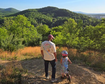
What will it take to connect the new Harrisonburg High School with safe and comfortable access for walking and biking? Given the location of the new school, reaching the building via the planned entrances off of US Route 11 will be challenging and dangerous for people walking and biking. In addition to the wide roads, fast-moving traffic, and inevitable increased traffic volume, this section of Route 11 is lacking sidewalks. All this is to say, we hope parents would discourage their students from walking or biking along US 11 to access the new High School.
What is the solution?
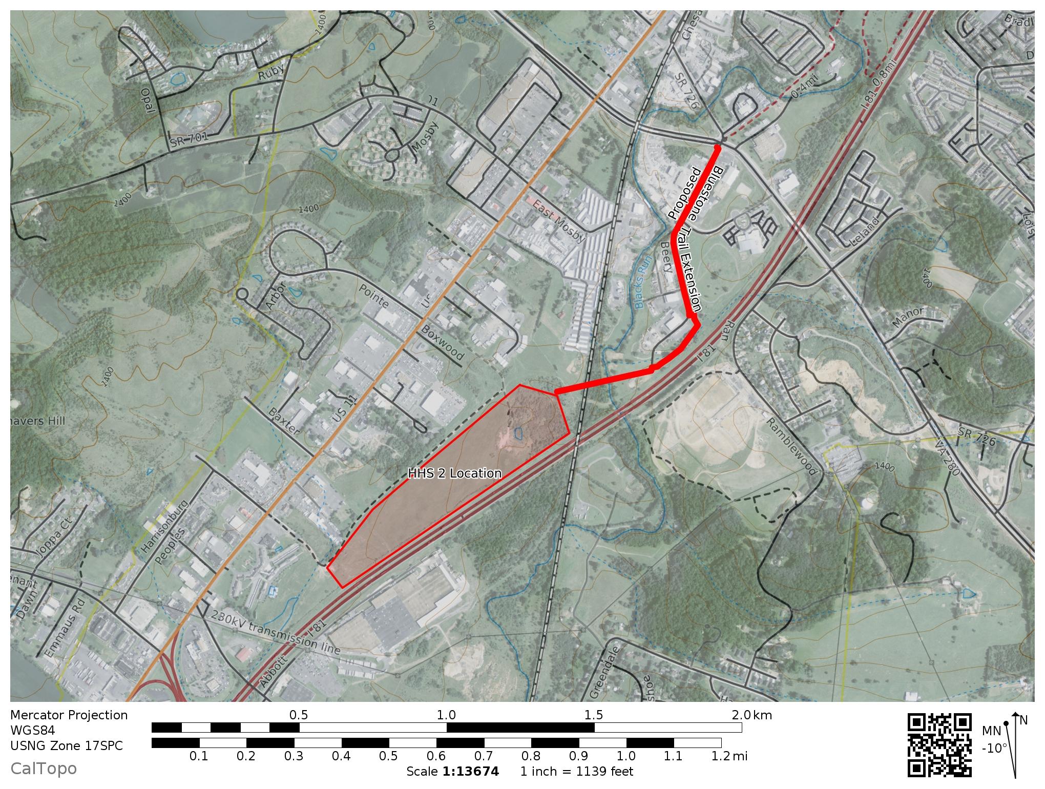
Fortunately, the property the City of Harrisonburg purchased for the school is located a little less than a mile from an existing greenway, the Bluestone Trail. What would it take to extend the Bluestone Trail south to the new High School property? The concept plans for the new Harrisonburg High School calls for a Shared Use Path (or Greenway) through the High School property and then along the entrance road. See item #9 in the Concept Plan for the new school below.
Where did this Idea Come From?
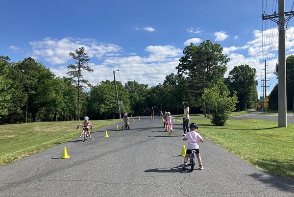
- Our Connect Our Schools campaign in 2015 stressed the community desire for ALL schools to provide safe, meaningful, and convenient connections for people walking and biking. Resulting in the planned Garbers Church Shared Use Paths, the concepts to Connect our Schools for walking and biking are universal for every existing and newly constructed school in our communities.
- Extending the Bluestone Trail south to the High School property has been on the City radar many years before the property was purchased to become a school.
- Bike-Ped Plan: The adopted 2017 Harrisonburg Bicycle and Pedestrian Plan lists the project as Shared Use Path-38 (SU-38) to eventually connect to Pleasant Valley Road. A map of the proposal is included on Page 7. Or click to view the map.
- Capital Improvement Plan: The project is included in the current City of Harrisonburg adopted Capital Improvement Plan (Page 50)
- 2018 Harrisonburg Comprehensive Plan: Strategy 7.2.2 To design new schools to fit into surrounding neighborhoods or in areas designated for future residential development. Consideration should be given to making schools accessible by pedestrians and bicyclists, well-landscaped, with lighting not to intrude into the surrounding neighborhood, and to not be dominated by parking lots. Click to read the Comp Plan Chapter 8.
What are We proposing?
We are asking the City of Harrisonburg to immediately pursue funding options for extending the Bluestone Trail south along Beery Road through the Harrisonburg Public Works/Water property, across Black’s Run, the Railroad track and then up to the new High School location. We don’t build schools without parking lots for cars and we shouldn’t build them without safe access for biking and walking. Click for a link to a map of the proposed Bluestone Trail Extension. A southern extension of the Bluestone trail along this alignment would reach the high school property in less than a mile and the vast majority of the property is owned by the City of Harrisonburg.
What Can you do to Help?
We are hopeful that the Harrisonburg City Council recognizes the importance of ensuring everyone has the freedom to choose how they will travel to and from the new High School. Whether folks choose to drive, walk, bike, or take the bus, all options should be made safe, accessible, and equally valued. It never hurts to reach out to your council members and let them know that you would like to see the City of Harrisonburg move forward with seeking grant funds to make this project a reality.
Email Harrisonburg City Council
Ask the Harrisonburg City Council to move forward with securing funding for this project (Extending the Bluestone Trail south to the new HHS2 site) as soon as possible. The goal is walk-bike connectivity via the Bluestone trail when the new school opens.