 When: Sunday February 2 @ Riding at 10:00 AM
Where: Park at Briery Branch Community Center and bike up to Flagpole Knob
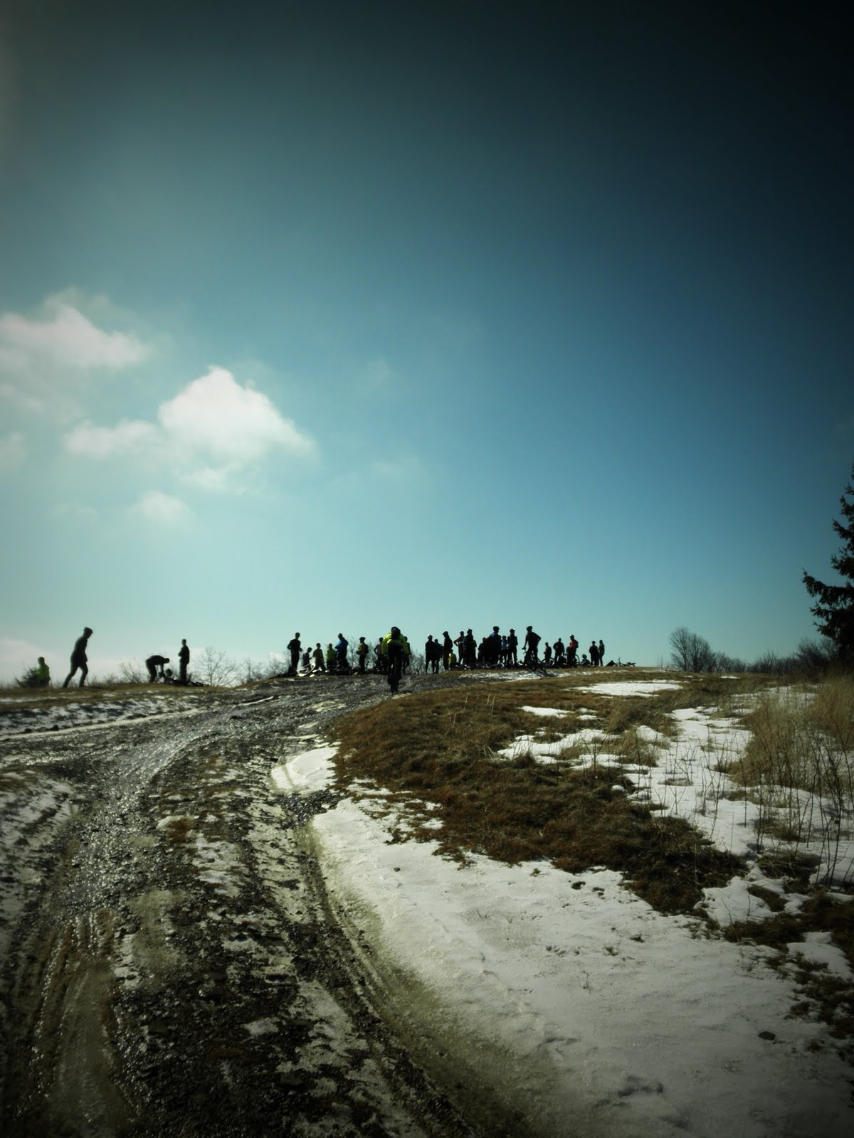
Why: To enjoy winter mountain biking with 100 of your closest friends before watching the big game
Option: A group will ride from town up to Flagpole and back. They will leave Mr J’s on 42 South at 8:45am
What to expect: A cold, fun, mellow ride. Make sure to pack more clothes and food than you might normally bring on a ride. Plan on spending anywhere from 4-6 hours on the bike.
Route: As shown on the map below, all participants will ride up 257 (paved) past the dam and reservoir, to the saddle, and then continue north on a dirt Forest Service Road to Flagpole Knob (Highest point in Rockingham County). After a group picture riders have several options to descend off the mountain. If you are not familiar with the area bring a map (National Georgraphic Trails Illustrated Map #791) Most riders will descend down “Red Diamond” located less than a 1/4 of a mile north of Flagpole. Others will come back down the paved road while the more adventurous ambitions will continue to Meadow Knob and then choose from the Pond Knob trail or Mud Pond. If you don’t know where you are going ASK someone for direction or better yet find someone to ride with.
Route: As shown on the map below, all participants will ride up 257 (paved) past the dam and reservoir, to the saddle, and then continue north on a dirt Forest Service Road to Flagpole Knob (Highest point in Rockingham County). After a group picture riders have several options to descend off the mountain. If you are not familiar with the area bring a map (National Georgraphic Trails Illustrated Map #791) Most riders will descend down “Red Diamond” located less than a 1/4 of a mile north of Flagpole. Others will come back down the paved road while the more adventurous ambitions will continue to Meadow Knob and then choose from the Pond Knob trail or Mud Pond. If you don’t know where you are going ASK someone for direction or better yet find someone to ride with.
All your friends are going. Just look at the Facebook Event for the Superbowl Sunday Ride
Driving Directions:
Directions to Briery Branch Community Center 14.8 mi – about 25 mins | |
 |
 | Court Square, Harrisonburg, VA |
| 1. | Head west on W Market St toward N Liberty St | go 0.2 mi total 0.2 mi |
 | 2. | Turn left onto VA-42 S/ Continue to follow VA-42 S About 7 mins | go 4.7 mi total 4.8 mi |
 | 3. | Turn right onto Mason St About 1 min | go 0.5 mi total 5.3 mi |
 | 4. | Continue onto VA-257 W/ About 8 mins | go 5.8 mi total 11.1 mi |
 | 5. | Turn left onto State Rte 613/ Continue to follow VA-257 W/ About 6 mins | go 2.5 mi total 13.6 mi |
 | 6. | Turn left onto VA-257 W/ Continue to follow VA-731 About 3 mins | go 1.1 mi total 14.7 mi |
 | 7. | Turn left onto State Rte 750/ Destination will be on the left | go 328 ft total 14.8 mi |
 | Briery Branch Community Center |